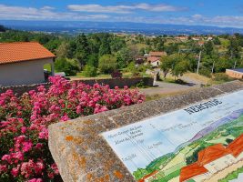
Technical informations
-
Distance 37km
-
Difficulty Very difficult
-
Type of itinerary Loop
-
Ascent 921m
-
Negative gradient 921m
-
Daily duration 03h30
-
Itinéraire balisé BALISE
-
Altitude moyenne n/c
-
Altitude maximum 737m
Equipements
- Picnic area
- Public WC
- Car park
- Free car park
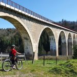
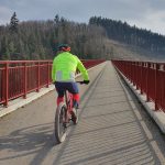
- Cycling sports
- Mountain biking itinerary
services
- Pets welcome
- Accommodation
- Restaurant
Type of clientele
- Mountain bikers
- Level black - very hard