
Technical informations
-
Distance 134km
-
Difficulty Hard
-
Type of itinerary Aller simple
-
Ascent 3670m
-
Negative gradient 3570m
-
Daily duration 06h00
-
Durée itinérance 07h00
-
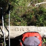
Itinéraire balisé BALISE
-
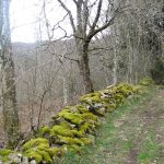
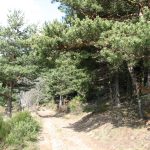
Nature du terrain Rock, Stone, Ground
-
Altitude moyenne 1000m
-
Altitude maximum 1634m
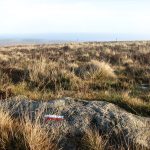
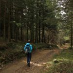
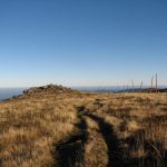
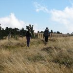
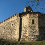
From Mont Gerbier de Jonc to Saint-Nazaire, this trail walks along the river Loire and runs through the ridges of the Forez mountains where you can enjoy various incredible landscapes. An alternative of this challenging section is made of dierent loops on the eastern part, at lower altitudes and feasible for anybody.
Equipements
- Car park
- Orientation board
- Pedestrian sports
- Hiking itinerary
services
- Pets welcome
- Accommodation
Type of clientele
- Walkers/hikers
- Level red – hard