Technical informations
-
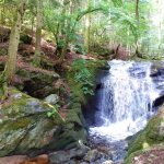
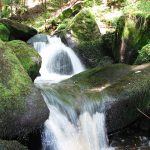
Distance 4km
-
Difficulty Moderate
-
Type of itinerary Aller/retour
-
Ascent 100m
-
Negative gradient 100m
-
Daily duration 01h15
-
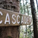
Itinéraire balisé BALISE
-
Nature du terrain Stone, Ground, Not suitable for strollers
-
Altitude moyenne 950m
-
Altitude maximum 1000m
Equipements
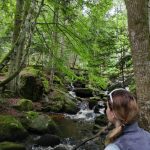
- Pedestrian sports
- Hiking itinerary
Type of clientele
- Children
- Level bue - Medium
- For beginners / novice