Technical informations
-
Distance 22km
-
Difficulty Very difficult
-
Type of itinerary Loop
-
Ascent 610m
-
Negative gradient 610m
-
Daily duration 01:50
-
Itinéraire balisé BALISE
-
Passage délicat Please note: there are several stream crossings along the route. You can use the footbridges, but you’ll need to carry your mountain bike for a few metres.
-
Nature du terrain Stone, Hard coating (tar, cement, flooring)
-
Altitude moyenne 396m
-
Altitude maximum 627m
Please note: there are several stream crossings along the route. You can use the footbridges, but you’ll need to carry your mountain bike for a few metres.
Description
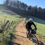
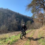
The route starts with a downhill stretch to the River Coise, then follows its banks for a few kilometres. Enjoyable but fairly technical, the trail climbs to the enchanting Meycillieux woods. A smoother section follows, offering splendid views over Saint-Galmier. The final stretch features a rewarding climb up to the village.
Labels
- Label VTT - FFC
Equipements
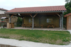
- Picnic area
- Public WC
- Car park
- Free car park
- Cycling sports
- Mountain biking itinerary
services
- Pets welcome
- Accommodation
- Restaurant
Type of clientele
- Mountain bikers
- Level black - very hard