Technical informations
-
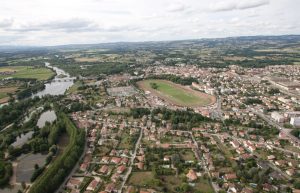
Distance 34km
-
Difficulty Very difficult
-
Type of itinerary Loop
-
Ascent 462m
-
Negative gradient 463m
-
Daily duration 02h30
-
Itinéraire balisé BALISE
-
Nature du terrain Ground, Hard coating (tar, cement, flooring), Grit
-
Altitude moyenne n/c
-
Altitude maximum 630m
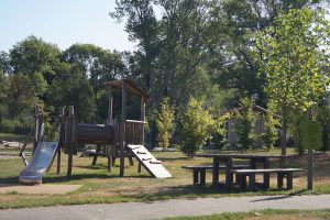
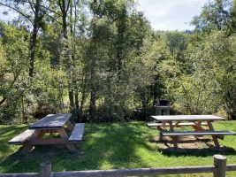
Equipements
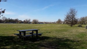
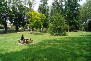
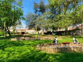
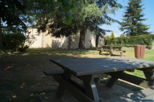
- Picnic area
- Public WC
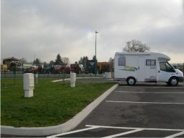
- Car park
- Free car park
- Cycling sports
- Cycle tourism route
services
- Pets welcome
- Accommodation
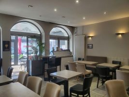
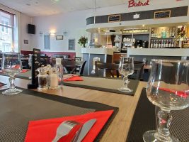
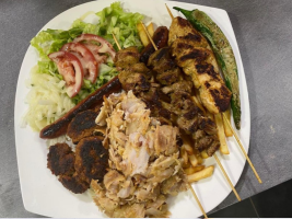
- Restaurant
Type of clientele
- Level black - very hard