Technical informations
-
Distance 27km
-
Difficulty Hard
-
Type of itinerary Loop
-
Ascent 810m
-
Negative gradient n/c
-
Daily duration 04:00
-
Itinéraire balisé BALISE
-
Nature du terrain Stone, Ground
-
Altitude moyenne 1350m
-
Altitude maximum 1435m
Labels
- Label VTT - FFC
Equipements
- Car park
- Cycling sports
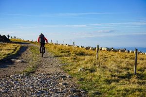
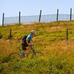
- Mountain biking itinerary
services
- Pets welcome
Type of clientele
- Mountain bikers
- Level red – hard