Technical informations
- 
                        
                        Distance 21km
- 
                        
                        Difficulty Moderate
- 
                        
                        Type of itinerary Loop
- 
                        
                        Ascent 55m
- 
                        
                        Negative gradient 56m
- 
                        
                        Daily duration 05h30
- 
                        
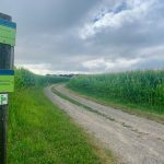
                        Itinéraire balisé BALISE
- 
                        
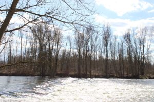
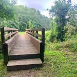
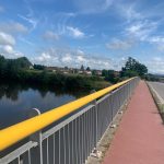
                        Nature du terrain Ground, Grit
- 
                        
                        Altitude moyenne n/c
- 
                        
                        Altitude maximum 362m
Equipements
- Picnic area
- Public WC
- Car park
- Pedestrian sports
- Hiking itinerary
services
- Pets welcome
- Accommodation
- Restaurant
Type of clientele
- Level bue - Medium


            